Alton, UT
Travel Guide

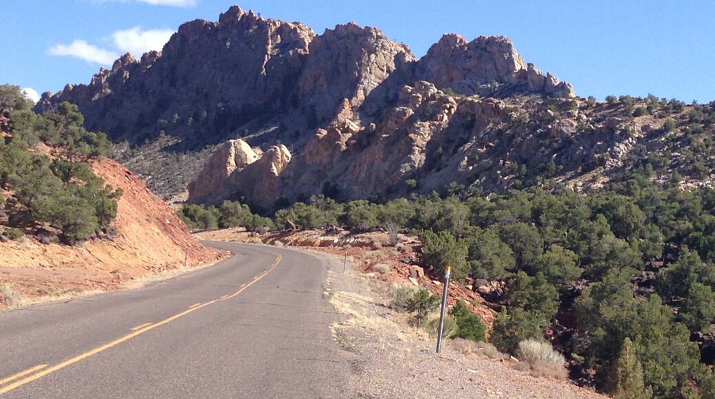

Visit Alton

Bryce Canyon Pines
2476 W HWY 12 Bryce Canyon UT
Stay at this motel in Bryce Canyon. Enjoy free WiFi, free parking, and an outdoor pool. Our guests praise the restaurant and the helpful staff in our reviews. ...

The Lodge at Bryce Canyon
Bryce Canyon National Park Bryce Canyon UT
Stay at this hotel in Bryce Canyon. Enjoy free parking, 2 restaurants, and breakfast (surcharge). Popular attractions Bryce Canyon National Park and Bryce Canyon ...

Rodeway Inn Bryce Canyon
3090 UT 12 Panguitch UT
Stay at this motel in Panguitch. Enjoy free WiFi, free parking, and a 24-hour front desk. Our guests praise the helpful staff and the clean rooms in our reviews. ...
Lowest nightly price found within the past 24 hours based on a 1 night stay for 2 adults. Prices and availability subject to change. Additional terms may apply.
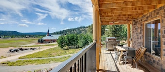
The Lodge at Duck Creek
885 E Church Dr Duck Creek Village UT
Stay at this apartment in Duck Creek Village. Enjoy free parking, laundry facilities, and concierge services. Popular attractions Mammoth Cave and Cascade Falls ...
Lowest nightly price found within the past 24 hours based on a 1 night stay for 2 adults. Prices and availability subject to change. Additional terms may apply.
Stay near popular Alton attractions
Things to do

RZR PRO S4 ATV Experience in Duck Creek Village UT
$389
per traveler

XPEDITION XP 5 NorthStar ATV Experience in Duck Creek Village UT
$389
per traveler


- Bryce Canyon National Park
- Bryce Canyon National Park Visitor Center
- Mammoth Cave
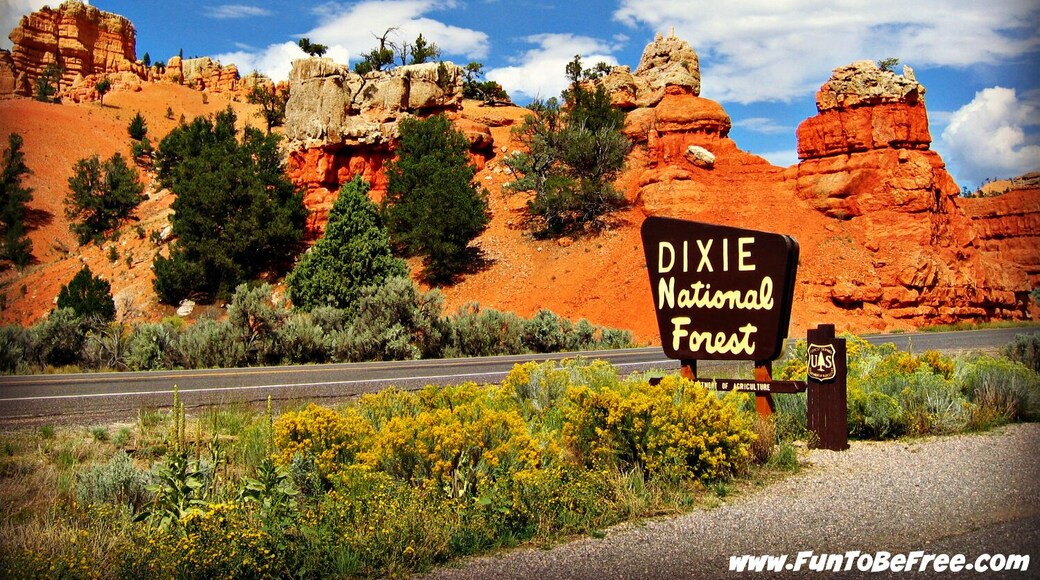
- Dixie National Forest
- Sunset Point
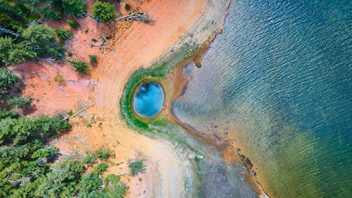
- Navajo Lake
- Bryce Point
- Sunrise Point
- Peek-A-Boo Gulch
- Cascade Falls
- Rim Road Scenic Drive
- Mossy Cave Trail
- Inspiration Point
- Thor's Hammer
- Queens Garden Trail
- Red Canyon
- Elkheart Cliffs Slot Canyon Trailhead
- Navajo Trail
- Red Canyon Visitor Center
- The Rock Stop
- Red Hollow Canyon Trailhead
- Fairview Point
- Johnson Canyon Rd
- Swamp Canyon
- Bryce Natural Bridge
- Maynard Dixon Living History Museum
- Wall Street
- Belly of the Dragon